Welcome to Cerrigydrudion
CLICK FOR 2021 CENSUS DATAParish Information
Parish statistics
Area |
6,451 hectares |
|---|---|
Population |
716 (2021) |
Density |
11 people/km2 |
Mean age |
44.7 |
Ward |
Uwchaled |
District |
Conwy |
Postcodes |
LL21 |
ONS ID |
W04000112 |
Council
Contact details for Cerrigydrudion Parish Council, including current councillors, precept data and election results.
Education
View educational establishments in Cerrigydrudion Parish. Data includes OFSTED rating and current appointed governors.
Business
Business directory listing local businesses operating within Cerrigydrudion Parish.
Planning
View recent planning applications submitted for Cerrigydrudion Parish.
Property
Price paid data for all property sold in Cerrigydrudion Parish since 2018. Includes average prices for each property type.
Heritage
Local heritage sites, historic churches, heritage pubs plus local heritage initiatives for Cerrigydrudion Parish.
Local News
Hosted and licensed by North.Wales
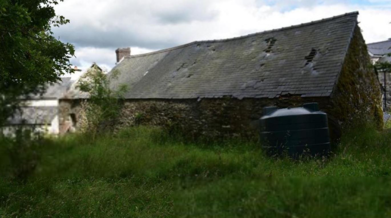
Derelict Cerrigydrudion Farm Building to be Transformed into Self-Catering Holiday Home with Yoga Room
Published: 6th Mar 2024

Hosted and licensed by Herald Wales
Popular cafe in Cerrigydrudion could be demolished
Published: 17th Sep 2023

Hosted and licensed by North Wales Live
Major road closed after lorry overturns
Published: 14th May 2024